
Targhar topographic map
Interactive map
Click on the map to display elevation.
About this map
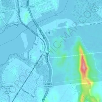
Name: Targhar topographic map, elevation, terrain.
Location: Targhar, Panvel, Raigad, Maharashtra, 400614, India (18.97202 73.01845 19.01202 73.05845)
Average elevation: 9 m
Minimum elevation: -5 m
Maximum elevation: 128 m