
Kandahar topographic map
Interactive map
Click on the map to display elevation.
About this map
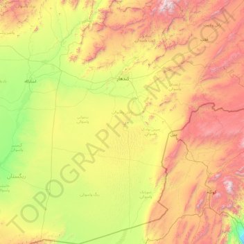
Name: Kandahar topographic map, elevation, terrain.
Location: Kandahar, Afghanistan (29.52943 64.50248 32.58691 67.79608)
Average elevation: 1,356 m
Minimum elevation: 361 m
Maximum elevation: 3,670 m