
Kampung Seronok topographic map
Interactive map
Click on the map to display elevation.
About this map
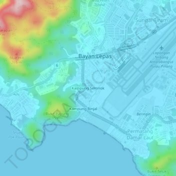
Name: Kampung Seronok topographic map, elevation, terrain.
Location: Kampung Seronok, Barat Daya, Penang, 11920, Malaysia (5.26750 100.23801 5.30750 100.27801)
Average elevation: 41 m
Minimum elevation: 0 m
Maximum elevation: 325 m