
R/C Ward topographic map
Interactive map
Click on the map to display elevation.
About this map
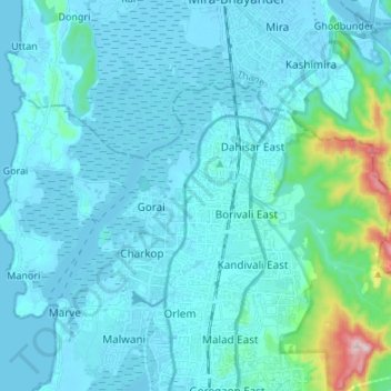
Name: R/C Ward topographic map, elevation, terrain.
Location: R/C Ward, Zone 4, Mumbai, Mumbai Suburban, Maharashtra, India (19.20106 72.77633 19.26479 72.91097)
Average elevation: 37 m
Minimum elevation: -3 m
Maximum elevation: 384 m
Other topographic maps
Click on a map to view its topography, its elevation and its terrain.