
Dhanore topographic map
Interactive map
Click on the map to display elevation.
About this map
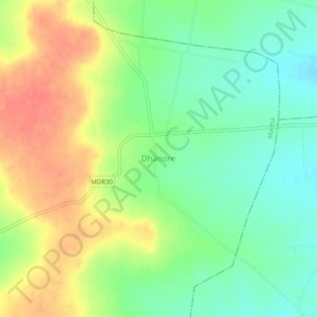
Name: Dhanore topographic map, elevation, terrain.
Location: Dhanore, Madha, Solapur, Maharashtra, India (17.98476 75.66800 18.02476 75.70800)
Average elevation: 498 m
Minimum elevation: 473 m
Maximum elevation: 528 m