
kaman topographic map
Interactive map
Click on the map to display elevation.
About this map
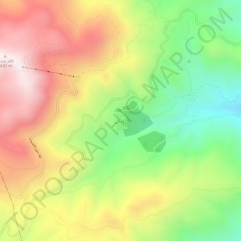
Name: kaman topographic map, elevation, terrain.
Location: kaman, بخش الموت غربی, Qazvin County, Qazvin Province, Iran (36.44359 50.11802 36.48359 50.15802)
Average elevation: 2,116 m
Minimum elevation: 1,626 m
Maximum elevation: 2,639 m