
Dhani topographic map
Interactive map
Click on the map to display elevation.
About this map
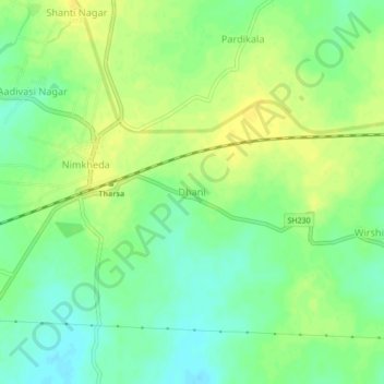
Name: Dhani topographic map, elevation, terrain.
Location: Dhani, Nagpur, Maharashtra, India (21.23550 79.40380 21.27550 79.44380)
Average elevation: 286 m
Minimum elevation: 275 m
Maximum elevation: 295 m