
Bahour topographic map
Interactive map
Click on the map to display elevation.
About this map
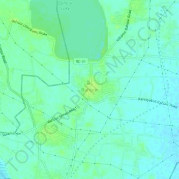
Name: Bahour topographic map, elevation, terrain.
Location: Bahour, Puducherry district, Puducherry, 607006, India (11.78569 79.72270 11.82569 79.76270)
Average elevation: 9 m
Minimum elevation: 4 m
Maximum elevation: 16 m