
Joe topographic map
Interactive map
Click on the map to display elevation.
About this map
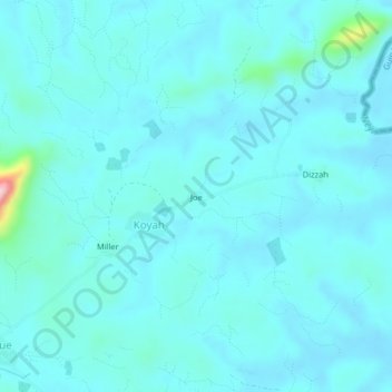
Name: Joe topographic map, elevation, terrain.
Location: Joe, Panta, Bong County, Liberia (7.22799 -9.16378 7.26799 -9.12378)
Average elevation: 289 m
Minimum elevation: 265 m
Maximum elevation: 504 m