Geolocate

Sector 16 topographic map

Interactive map

Click on the map to display elevation.

About this map

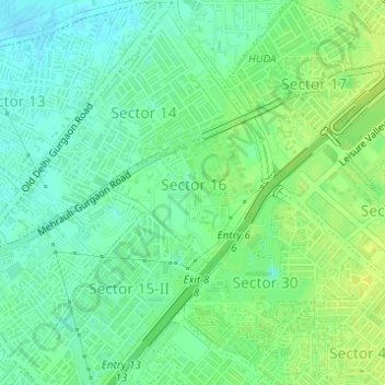
Name: Sector 16 topographic map, elevation, terrain.

Location: Sector 16, Gurugram, Haryana, India (28.46288 77.04395 28.47342 77.05741)

Average elevation: 230 m

Minimum elevation: 221 m

Maximum elevation: 238 m

Other topographic maps

Click on a map to view its topography, its elevation and its terrain.

Sohna

India > Haryana > Gurugram

Average elevation: 229 m

Najafgarh Jheel

India > Haryana > Gurugram > Daultalbad Village

Average elevation: 211 m

Abhyapur

India > Haryana > Gurugram > Abhyapur

Average elevation: 219 m

Dhulkot

India > Haryana > Gurugram > Dhulkot

Average elevation: 214 m

Damdama

India > Haryana > Gurugram > Damdama

Average elevation: 233 m

Sector 108

India > Haryana > Gurugram > Dharampur

Average elevation: 212 m