
Bucksport topographic map
Interactive map
Click on the map to display elevation.
About this map
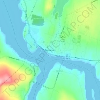
Name: Bucksport topographic map, elevation, terrain.
Location: Bucksport, Hancock County, Maine, 04416, USA (44.55369 -68.81559 44.59369 -68.77559)
Average elevation: 37 m
Minimum elevation: -7 m
Maximum elevation: 161 m