Ao Tanote - อ่าวโตนด topographic map
Interactive map
Click on the map to display elevation.
About this map
Name: Ao Tanote - อ่าวโตนด topographic map, elevation, terrain.
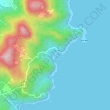
Average elevation: 75 m
Minimum elevation: -2 m
Maximum elevation: 306 m

Click on the map to display elevation.
Name: Ao Tanote - อ่าวโตนด topographic map, elevation, terrain.
Average elevation: 75 m
Minimum elevation: -2 m
Maximum elevation: 306 m