
Uzundere topographic map
Interactive map
Click on the map to display elevation.
About this map
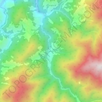
Name: Uzundere topographic map, elevation, terrain.
Location: Uzundere, Çayeli, Rize, Région de la mer Noire, Turquie (40.89396 40.77766 40.93396 40.81766)
Average elevation: 1,022 m
Minimum elevation: 617 m
Maximum elevation: 1,583 m