
Mahal topographic map
Interactive map
Click on the map to display elevation.
About this map
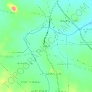
Name: Mahal topographic map, elevation, terrain.
Location: Mahal, Chittoor, Andhra Pradesh, 517235, India (13.75553 78.77051 13.79553 78.81051)
Average elevation: 482 m
Minimum elevation: 455 m
Maximum elevation: 552 m