
Pegong topographic map
Interactive map
Click on the map to display elevation.
About this map
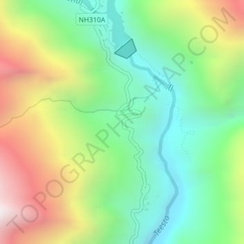
Name: Pegong topographic map, elevation, terrain.
Location: Pegong, Chungthang, North Sikkim District, Sikkim, India (27.57942 88.64006 27.59942 88.66006)
Average elevation: 1,950 m
Minimum elevation: 1,416 m
Maximum elevation: 2,819 m