
Mandehoved topographic map
Interactive map
Click on the map to display elevation.
About this map
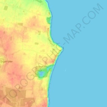
Name: Mandehoved topographic map, elevation, terrain.
Location: Mandehoved, Stevns Kommune, Region Sjælland, Danemark (55.30864 12.42849 55.34864 12.46849)
Average elevation: 15 m
Minimum elevation: -10 m
Maximum elevation: 40 m