
Daragaon topographic map
Interactive map
Click on the map to display elevation.
About this map
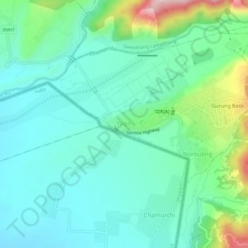
Name: Daragaon topographic map, elevation, terrain.
Location: Daragaon, Samtse Dzongkhag, Samtse District, Bhutan (26.87740 89.06400 26.91740 89.10400)
Average elevation: 342 m
Minimum elevation: 259 m
Maximum elevation: 609 m