
Greeley topographic map
Interactive map
Click on the map to display elevation.
About this map
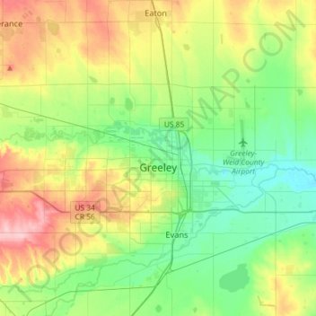
Name: Greeley topographic map, elevation, terrain.
Location: Greeley, Weld County, Colorado, USA (40.37749 -104.90739 40.48122 -104.61914)
Average elevation: 1,448 m
Minimum elevation: 1,398 m
Maximum elevation: 1,543 m