
Ryomgård topographic map
Interactive map
Click on the map to display elevation.
About this map
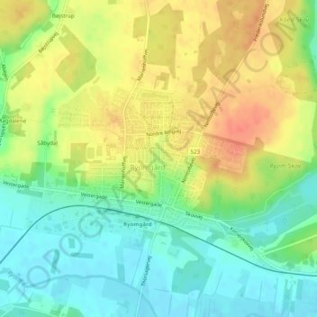
Name: Ryomgård topographic map, elevation, terrain.
Location: Ryomgård, Syddjurs Kommune, Jutland central, Danemark (56.37864 10.48784 56.39115 10.51744)
Average elevation: 24 m
Minimum elevation: 1 m
Maximum elevation: 51 m