
Lédri topographic map
Interactive map
Click on the map to display elevation.
About this map
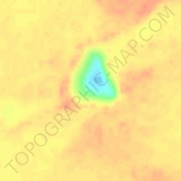
Name: Lédri topographic map, elevation, terrain.
Location: Lédri, Kanem, Chad (14.55079 14.63165 14.55089 14.63175)
Average elevation: 344 m
Minimum elevation: 306 m
Maximum elevation: 354 m