
Wright City topographic map
Interactive map
Click on the map to display elevation.
About this map
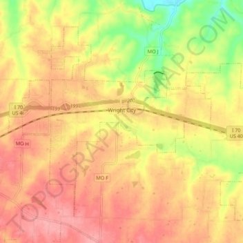
Name: Wright City topographic map, elevation, terrain.
Location: Wright City, Warren County, Missouri, 63390, United States (38.79850 -91.07406 38.85025 -90.98916)
Average elevation: 219 m
Minimum elevation: 159 m
Maximum elevation: 255 m