
Kadampur topographic map
Interactive map
Click on the map to display elevation.
About this map
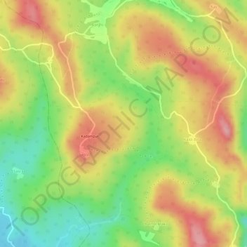
Name: Kadampur topographic map, elevation, terrain.
Location: Kadampur, Taljhari, Sahibganj (district), Jharkhand, India (25.18329 87.70951 25.19130 87.71918)
Average elevation: 216 m
Minimum elevation: 137 m
Maximum elevation: 280 m