
Kochi topographic map
Interactive map
Click on the map to display elevation.
About this map
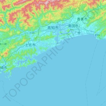
Name: Kochi topographic map, elevation, terrain.
Location: Kochi, Kochi Prefecture, 780-8571, Japan (33.23942 133.39435 33.68203 133.71377)
Average elevation: 107 m
Minimum elevation: -2 m
Maximum elevation: 1,143 m