
Chail topographic map
Interactive map
Click on the map to display elevation.
About this map
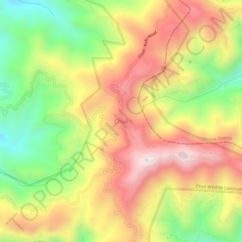
Name: Chail topographic map, elevation, terrain.
Average elevation: 1,874 m
Minimum elevation: 1,489 m
Maximum elevation: 2,238 m
Other topographic maps
Click on a map to view its topography, its elevation and its terrain.
Sairi
India > Himachal Pradesh > Kandaghat
Sairi, Kandaghat, Solan District, Himachal Pradesh, India
Average elevation: 1,319 m