
Lone Tree topographic map
Click on the map to display elevation.
About this map
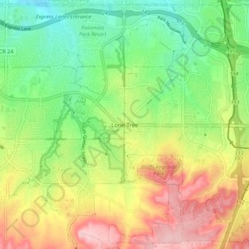
Name: Lone Tree topographic map, elevation, terrain.
Location: Lone Tree, Douglas County, Colorado, United States (39.50710 -104.90935 39.56609 -104.82991)
Average elevation: 1,819 m
Minimum elevation: 1,730 m
Maximum elevation: 1,938 m