
Morioka topographic map
Interactive map
Click on the map to display elevation.
About this map
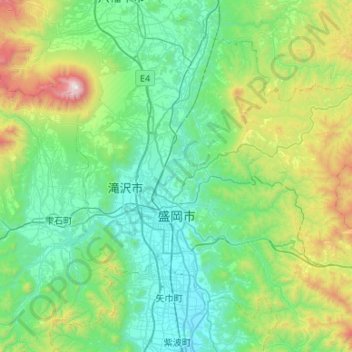
Name: Morioka topographic map, elevation, terrain.
Location: Morioka, Iwate Prefecture, Japan (39.56375 140.99525 39.93019 141.52746)
Average elevation: 483 m
Minimum elevation: 92 m
Maximum elevation: 2,022 m
Other topographic maps
Click on a map to view its topography, its elevation and its terrain.