
McClain County topographic map
Interactive map
Click on the map to display elevation.
About this map
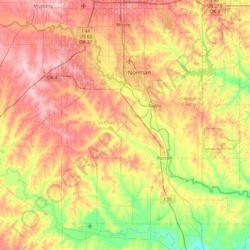
Name: McClain County topographic map, elevation, terrain.
Location: McClain County, Oklahoma, United States (34.85462 -97.67142 35.33428 -96.93069)
Average elevation: 347 m
Minimum elevation: 271 m
Maximum elevation: 434 m