
Nawabpeta topographic map
Interactive map
Click on the map to display elevation.
About this map
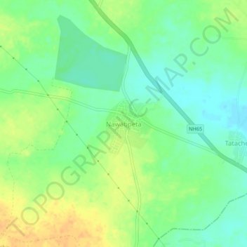
Name: Nawabpeta topographic map, elevation, terrain.
Location: Nawabpeta, Penuganchiprolu, NTR, Andhra Pradesh, 522185, India (16.79815 80.21117 16.83815 80.25117)
Average elevation: 62 m
Minimum elevation: 48 m
Maximum elevation: 78 m