
Kafr Ghan topographic map
Interactive map
Click on the map to display elevation.
About this map
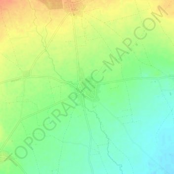
Name: Kafr Ghan topographic map, elevation, terrain.
Location: Kafr Ghan, Azaz District, Aleppo, Syria (36.61139 37.16444 36.65139 37.20444)
Average elevation: 493 m
Minimum elevation: 473 m
Maximum elevation: 515 m