
Thank you for supporting this site ❤️
Make a donation
Make a donation
Lohja topographic map
Click on the map to display elevation.
Thank you for supporting this site ❤️
Make a donation
Make a donation
About this map
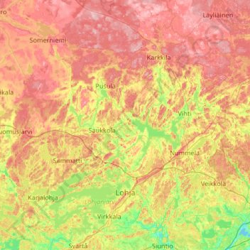
Name: Lohja topographic map, elevation, terrain.
Location: Lohja, Helsinki sub-region, Uusimaa, Mainland Finland, Finland (60.12944 23.58631 60.65386 24.30569)
Average elevation: 76 m
Minimum elevation: 0 m
Maximum elevation: 170 m
Thank you for supporting this site ❤️
Make a donation
Make a donation