
Santa Inés topographic map
Interactive map
Click on the map to display elevation.
About this map
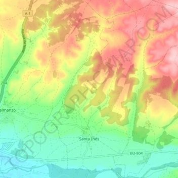
Name: Santa Inés topographic map, elevation, terrain.
Location: Santa Inés, Burgos, Castile and León, Spain (42.02471 -3.72051 42.08606 -3.65983)
Average elevation: 896 m
Minimum elevation: 820 m
Maximum elevation: 986 m
Other topographic maps
Click on a map to view its topography, its elevation and its terrain.