
Introd topographic map
Interactive map
Click on the map to display elevation.
About this map
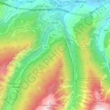
Name: Introd topographic map, elevation, terrain.
Location: Introd, Aosta Valley, Italy (45.64085 7.12242 45.70338 7.21125)
Average elevation: 1,327 m
Minimum elevation: 635 m
Maximum elevation: 2,522 m