
Garsekurthi topographic map
Interactive map
Click on the map to display elevation.
About this map
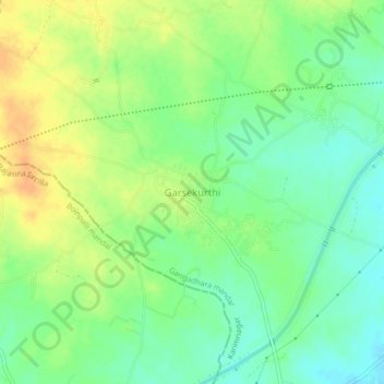
Name: Garsekurthi topographic map, elevation, terrain.
Location: Garsekurthi, Gangadhara mandal, Karimnagar, Telangana, India (18.48825 78.95810 18.52825 78.99810)
Average elevation: 331 m
Minimum elevation: 316 m
Maximum elevation: 348 m