
Thank you for supporting this site ❤️
Make a donation
Make a donation
Monticello topographic map
Click on the map to display elevation.
Thank you for supporting this site ❤️
Make a donation
Make a donation
About this map
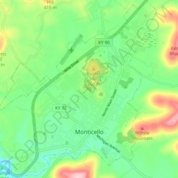
Name: Monticello topographic map, elevation, terrain.
Location: Monticello, Wayne County, Kentucky, 42633, United States (36.81558 -84.88387 36.87032 -84.82309)
Average elevation: 304 m
Minimum elevation: 232 m
Maximum elevation: 449 m
Thank you for supporting this site ❤️
Make a donation
Make a donation