
Thank you for supporting this site ❤️
Make a donation
Make a donation
Loxley topographic map
Click on the map to display elevation.
Thank you for supporting this site ❤️
Make a donation
Make a donation
About this map
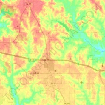
Name: Loxley topographic map, elevation, terrain.
Location: Loxley, Baldwin County, Alabama, 36551, United States (30.60040 -87.82143 30.72427 -87.64747)
Average elevation: 46 m
Minimum elevation: 12 m
Maximum elevation: 71 m
Thank you for supporting this site ❤️
Make a donation
Make a donation