
Laikot topographic map
Interactive map
Click on the map to display elevation.
About this map
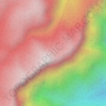
Name: Laikot topographic map, elevation, terrain.
Location: Laikot, Kangpoki, Kangpokpi, Manipur, India (25.35856 93.90078 25.35866 93.90088)
Average elevation: 2,391 m
Minimum elevation: 1,555 m
Maximum elevation: 2,815 m