
Hiriyur topographic map
Interactive map
Click on the map to display elevation.
About this map
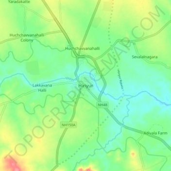
Name: Hiriyur topographic map, elevation, terrain.
Average elevation: 613 m
Minimum elevation: 585 m
Maximum elevation: 668 m
Hiriyur is located at 13°57′N 76°37′E / 13.95°N 76.62°E / 13.95; 76.62. It has an average elevation of 630 metres (2066 feet). The months of March and April are the hottest months of the year.