
Rangpuri topographic map
Interactive map
Click on the map to display elevation.
About this map
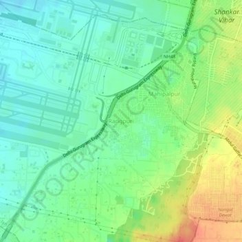
Name: Rangpuri topographic map, elevation, terrain.
Location: Rangpuri, New Delhi, Delhi, 110037, India (28.52001 77.09978 28.56001 77.13978)
Average elevation: 244 m
Minimum elevation: 224 m
Maximum elevation: 279 m
Other topographic maps
Click on a map to view its topography, its elevation and its terrain.
Air India Colony
India > Delhi > New Delhi > Rangpuri
Air India Colony, Vasant Vihar, Rangpuri, New Delhi, Delhi, India
Average elevation: 249 m