
Premstätten topographic map
Interactive map
Click on the map to display elevation.
About this map
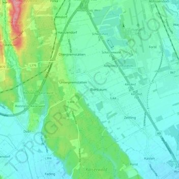
Name: Premstätten topographic map, elevation, terrain.
Location: Premstätten, Bezirk Graz-Umgebung, Styria, 8141, Austria (46.93339 15.36341 46.99306 15.46674)
Average elevation: 339 m
Minimum elevation: 314 m
Maximum elevation: 426 m