
Jebel Umm Mukhla topographic map
Interactive map
Click on the map to display elevation.
About this map
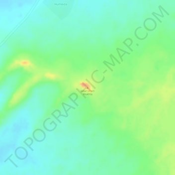
Name: Jebel Umm Mukhla topographic map, elevation, terrain.
Location: Jebel Umm Mukhla, West Darfur State, Sudan (13.69143 23.06133 13.69153 23.06143)
Average elevation: 870 m
Minimum elevation: 855 m
Maximum elevation: 894 m