
West Valley City topographic map
Interactive map
Click on the map to display elevation.
About this map
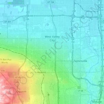
Name: West Valley City topographic map, elevation, terrain.
Location: West Valley City, Salt Lake County, Utah, United States (40.63116 -112.09726 40.72683 -111.92022)
Average elevation: 1,351 m
Minimum elevation: 1,286 m
Maximum elevation: 1,648 m