
Cantonment topographic map
Interactive map
Click on the map to display elevation.
About this map
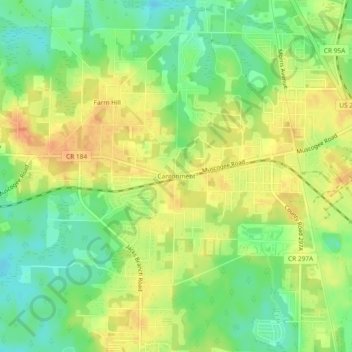
Name: Cantonment topographic map, elevation, terrain.
Location: Cantonment, Escambia County, Florida, 11142, USA (30.58543 -87.36444 30.62543 -87.32444)
Average elevation: 38 m
Minimum elevation: 17 m
Maximum elevation: 57 m