
Biên Hòa topographic map
Interactive map
Click on the map to display elevation.
About this map
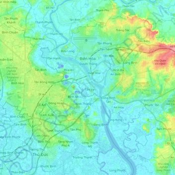
Name: Biên Hòa topographic map, elevation, terrain.
Location: Biên Hòa, Đồng Nai Province, Vietnam (10.82250 106.76197 11.00571 106.98711)
Average elevation: 17 m
Minimum elevation: -21 m
Maximum elevation: 85 m
Other topographic maps
Click on a map to view its topography, its elevation and its terrain.