
Westland topographic map
Interactive map
Click on the map to display elevation.
About this map
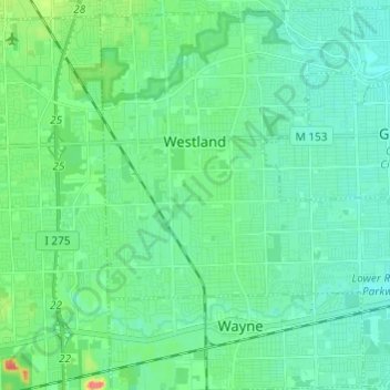
Name: Westland topographic map, elevation, terrain.
Location: Westland, Wayne County, Michigan, United States (42.26746 -83.43004 42.35518 -83.30900)
Average elevation: 202 m
Minimum elevation: 190 m
Maximum elevation: 247 m