
Enontekiö topographic map
Interactive map
Click on the map to display elevation.
About this map
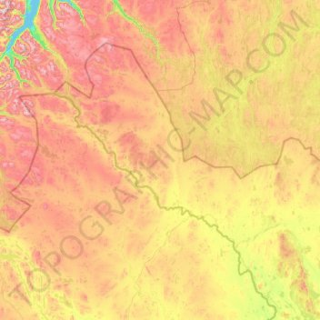
Name: Enontekiö topographic map, elevation, terrain.
Average elevation: 523 m
Minimum elevation: 0 m
Maximum elevation: 1,813 m
The lower heathlands are dominated by shrubs such as Betula nana, Vaccinium myrtillus and Empetrum hermaphroditum, whereas in the fjell heaths at higher elevations Salix herbacea, Empetrum and alpine grasses with lichens and mosses occur. In the mountains of the north-west Cassiope tetragona is abundant. The largest part of the municipal area consists of these plateaus or bogs, which mainly predominate at the rivers. Only 19% of Enontekiö's area is afforested. About 70% of the total area is conservation area of various grades. Enontekiö contains parts of the Pallas-Yllästunturi National Park, as well as the wilderness areas of Käsivarsi, Pulju, Pöyrisjärvi and Tarvantovaara.