
Rosharon topographic map
Click on the map to display elevation.
About this map
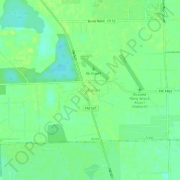
Name: Rosharon topographic map, elevation, terrain.
Location: Rosharon, Brazoria County, Texas, United States (29.33212 -95.48034 29.37212 -95.44034)
Average elevation: 16 m
Minimum elevation: 8 m
Maximum elevation: 20 m
Other topographic maps
Click on a map to view its topography, its elevation and its terrain.
Danbury
United States > Texas > Brazoria County
In 2006, the average elevation was 21.4 feet (6.5 m) above mean sea level (MSL), which reflects a 0.168-inch (4.3 mm) negative deviation compared to a 1998 study. This decrease is believed to be caused by the extraction of groundwater (9% of total declination), the extraction of petroleum products (88% of…
Average elevation: 8 m