
Manmangalam topographic map
Interactive map
Click on the map to display elevation.
About this map
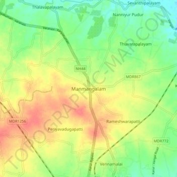
Name: Manmangalam topographic map, elevation, terrain.
Location: Manmangalam, Karur, Karur District, Tamil Nadu, 639006, India (11.00605 78.04439 11.04605 78.08439)
Average elevation: 148 m
Minimum elevation: 128 m
Maximum elevation: 169 m