
Rangárþing ytra topographic map
Interactive map
Click on the map to display elevation.
About this map
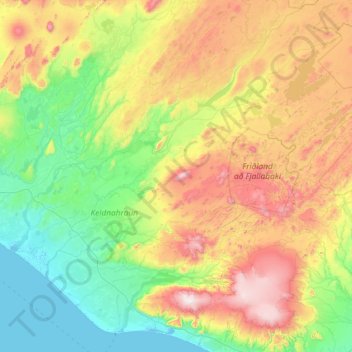
Name: Rangárþing ytra topographic map, elevation, terrain.
Location: Rangárþing ytra, Southern Region, Iceland (63.69112 -20.81195 64.28630 -18.48060)
Average elevation: 401 m
Minimum elevation: -2 m
Maximum elevation: 1,623 m
Other topographic maps
Click on a map to view its topography, its elevation and its terrain.