
Thank you for supporting this site ❤️
Make a donation
Make a donation
Aler topographic map
Click on the map to display elevation.
Thank you for supporting this site ❤️
Make a donation
Make a donation
About this map
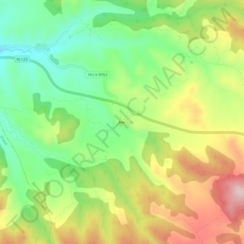
Name: Aler topographic map, elevation, terrain.
Location: Aler, Benabarre, La Ribagorza, Huesca, Aragon, Spain (42.09255 0.40593 42.13255 0.44593)
Average elevation: 685 m
Minimum elevation: 539 m
Maximum elevation: 878 m
Thank you for supporting this site ❤️
Make a donation
Make a donation