
Thank you for supporting this site ❤️
Make a donation
Make a donation
Ötztal topographic map
Click on the map to display elevation.
Thank you for supporting this site ❤️
Make a donation
Make a donation
About this map
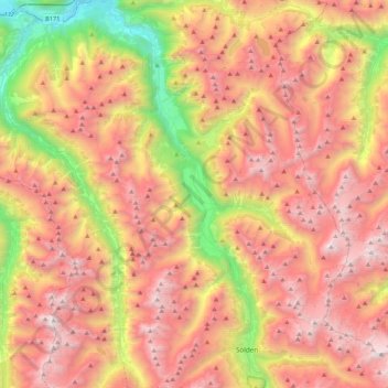
Name: Ötztal topographic map, elevation, terrain.
Location: Ötztal, Bezirk Imst, Austria (46.93837 10.85501 47.22715 11.02744)
Average elevation: 2,194 m
Minimum elevation: 689 m
Maximum elevation: 3,486 m
Thank you for supporting this site ❤️
Make a donation
Make a donation